Skip to content
Skip to content
On the Road in Mexico

A survival guide for road travel in Mexico by Bill and Dorothy Bell

  • Home
  • Mexico Auto/RV Insurance
  • Planning Your Trip
  • Articles
  • Archeology
  • Places in Mexico
On the Road in Mexico

A survival guide for road travel in Mexico by Bill and Dorothy Bell

Torreon, Coahuila

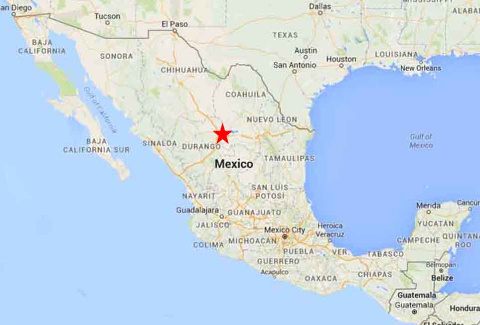
Torreon Map 1Torreon, Coahuila

Torreon coa

Name: Spanish for “Big Tower”

Location: Located in North central Mexico in the border state of Coahuila.

Weather: Arid with Hot with some rainfail. Winters are Mild and dry.

Weather Today in Chihuahua

January Average Highs 22.3C (72.1F) Lows 6.8C (44.2F)

July Average Highs 34.3C (93.7F) Lows 20.5C (68.9F)

Population: 1,220,000

Elevation: 1,120 m (3,670 ft)

Founded: Spanish missionary arrived in 1566, led by Fr. Pedro Espinareda

Medical: Major facilities

Money: Major Banks and ATMs

History:

Today:

Getting there:

Drive Highway 45D from Dchihuahua to Torreon.

From Durrango drive East & Monterrey drive West on Highway 40D

Accommodation

HOTELS:

Torreon Hotels


RV PARKS NEARBY

 Creel

Hotel Villa Mexicana

CD Camargo

Motel Trailer Park Villa Charro

torreon Map 2

©2026 On the Road in Mexico | WordPress Theme by SuperbThemes

Powered by
►
Necessary cookies enable essential site features like secure log-ins and consent preference adjustments. They do not store personal data.
None
►
Functional cookies support features like content sharing on social media, collecting feedback, and enabling third-party tools.
None
►
Analytical cookies track visitor interactions, providing insights on metrics like visitor count, bounce rate, and traffic sources.
None
►
Advertisement cookies deliver personalized ads based on your previous visits and analyze the effectiveness of ad campaigns.
None
►
Unclassified cookies are cookies that we are in the process of classifying, together with the providers of individual cookies.
None
Powered by