
| |
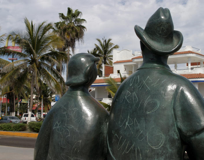
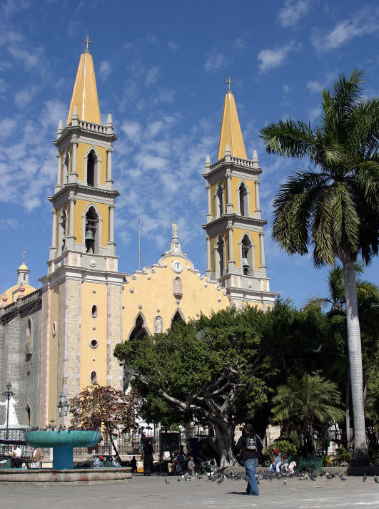
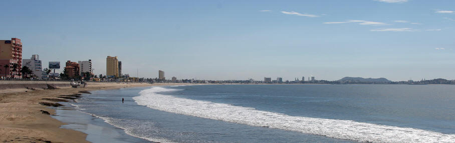
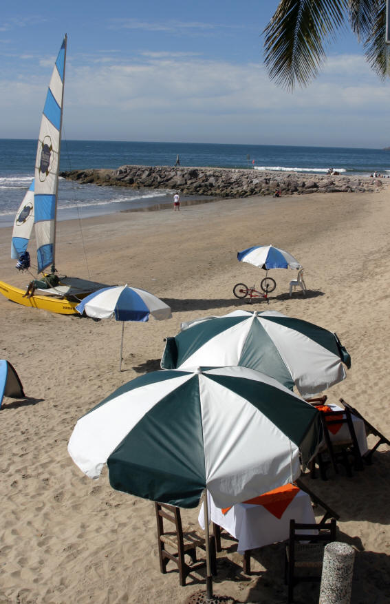
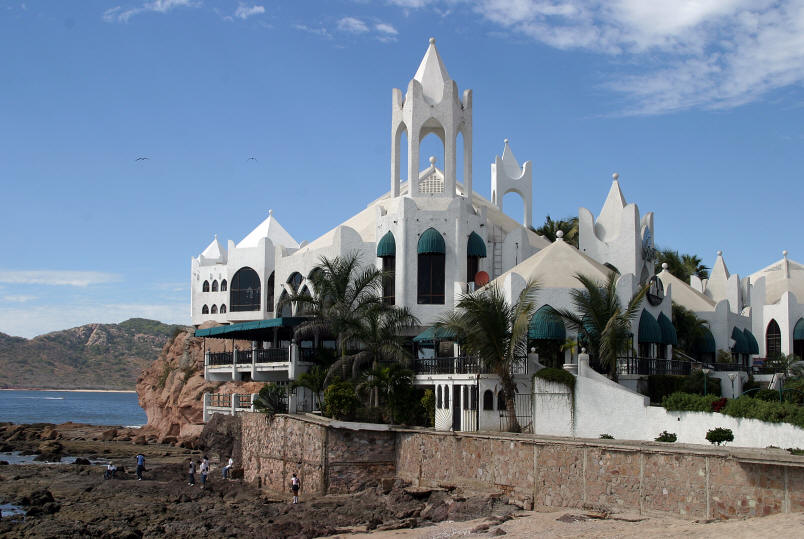
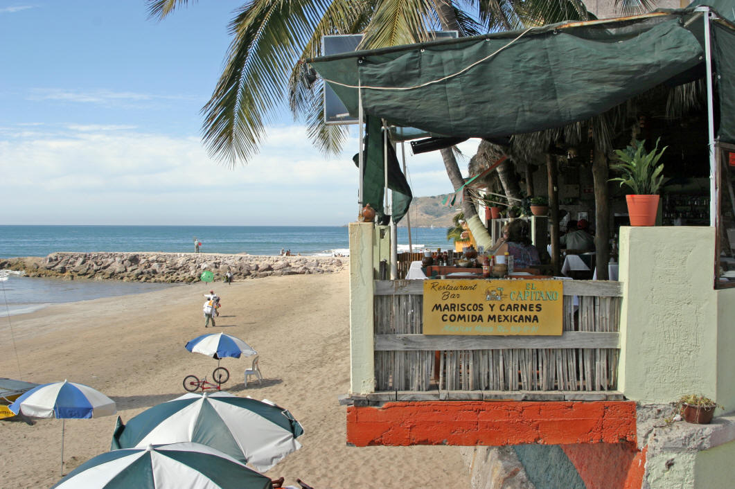
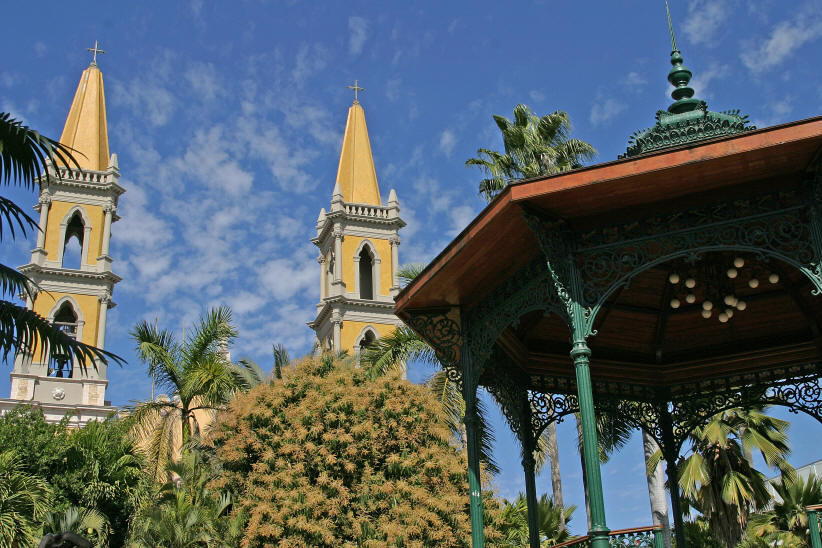
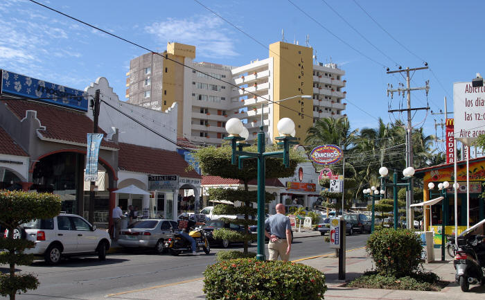
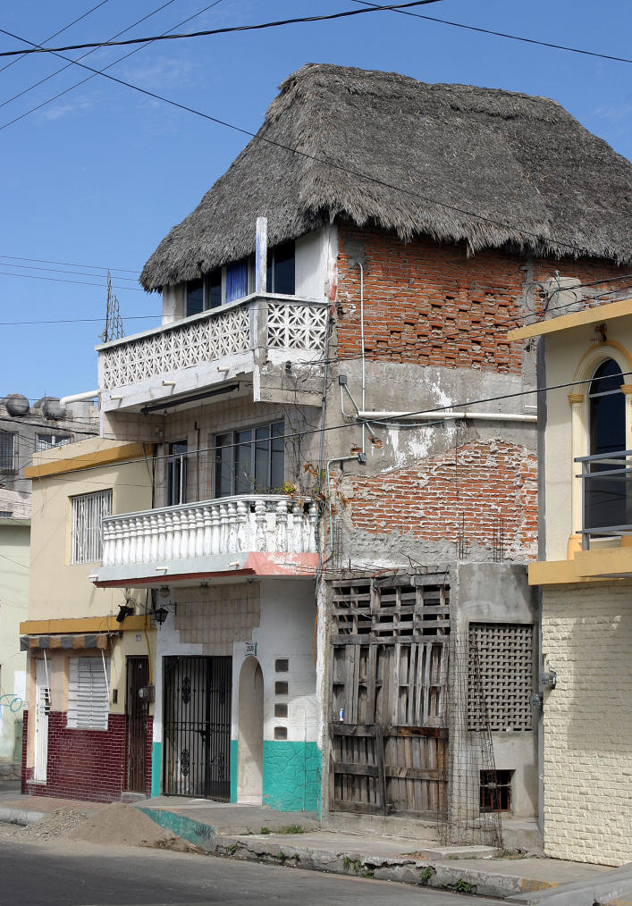
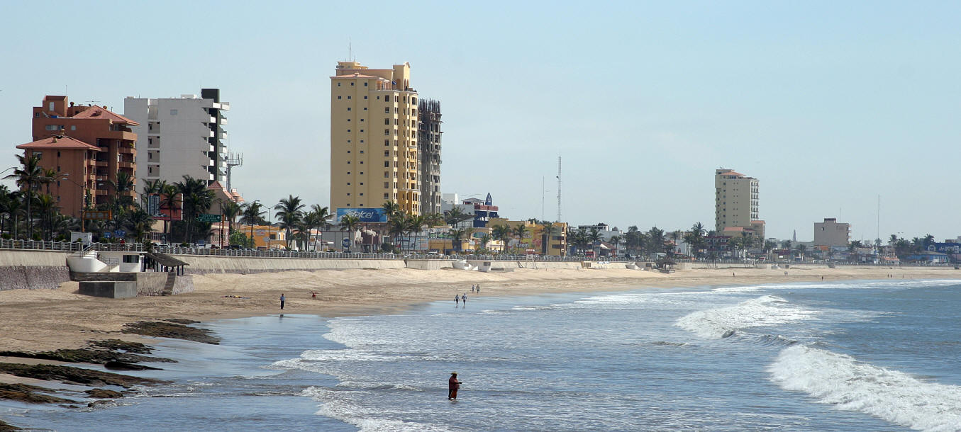
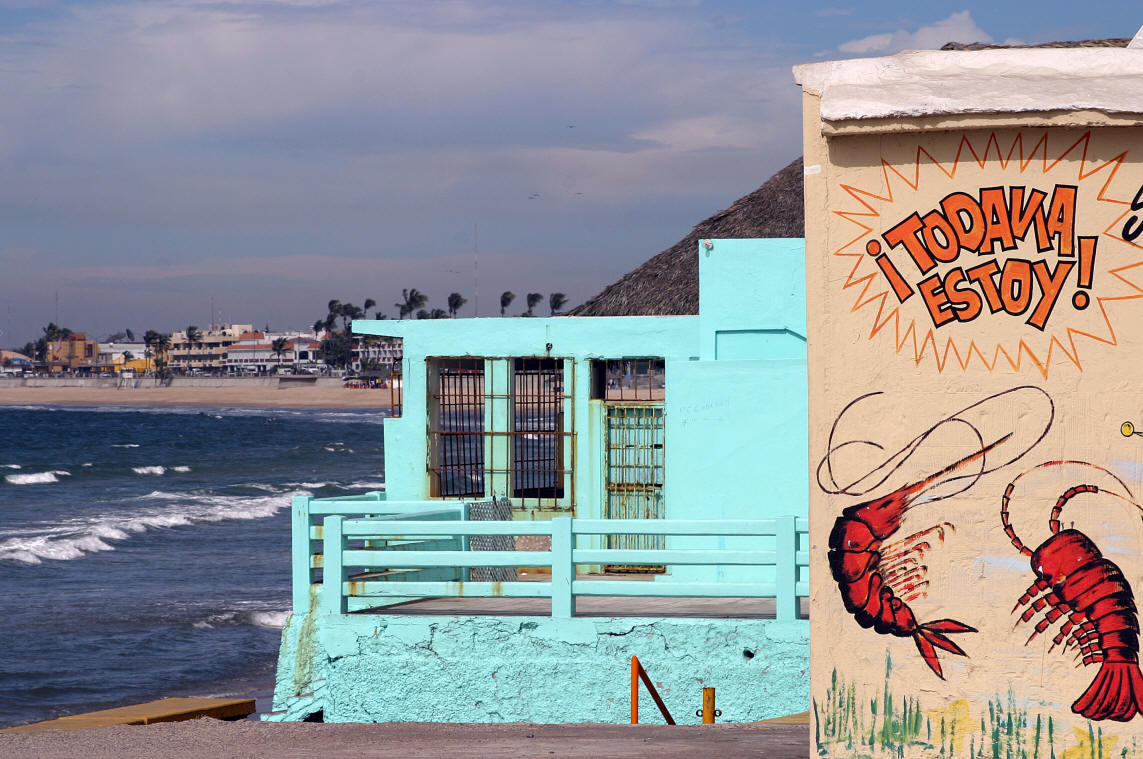
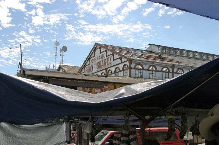
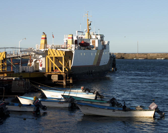
Mazatlan, Sinaloa Mexico Photography
Photograph by Bill Bell
Mazatlán (Spanish pronunciation: [ma sat ˈlan]) is a city in the Mexican s tate
of Sinaloa; the surrounding municipio (municipality) for which the city serves
as the municipal seat is also called Mazatlán. It is located at 23°13′N
106°25′W / 23.217°N 106.417°W / 23.217; -106.417 on the Pacific coast, just
across from the southernmost tip of the Baja California peninsula.
Mazatlán is a Nahuatl word meaning "place of the deer." The city was founded in
1531. By the mid-1800s a large group of immigrants had arrived from Germany.
These new citizens developed Mazatlán into a thriving commercial seaport,
importing equipment for the nearby gold and silver mines. It served as the
capital of Sinaloa from 1859 to 1873. They also influenced the music, banda,
which is an alteration of Bavarian folk music, and also started the Pacifico
Brewery on March 14, 1900.
Mazatlán,
with a population of 352,471 (city) and 403,888 (municipality) as of the 2005
census, is the second-largest city in the state (after Culiacán) and Mexico's
largest commercial port. It is also a popular tourist destination,with its
beaches lined with resort hotels. A car ferry plies its trade across the Gulf of
California from Mazatlán to La Paz, Baja California Sur. The municipality has a
land area of 3,068.48 km² (1,184.75 sq mi) and includes smaller outlying
communities such as Villa Unión, La Noria, El Quelite, El Habal and many other
small villages.
To view photographs in larger format click on them


To view more photographs of
Mazatlan click here
p
| |
|